Faites connaître cet article à vos amis:
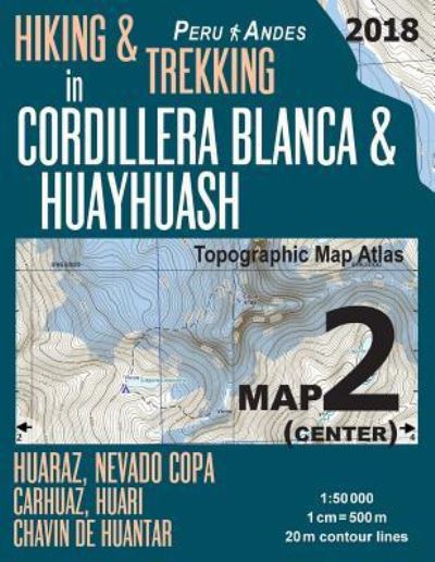
Hiking & Trekking in Cordillera Blanca & Huayhuash Map 2 (Center) Huaraz, Nevado Copa, Carhuaz, Huari, Chavin de Huantar Topographic Map Atlas 1: 50000: Trails, Hikes & Walks Topographic Map - Travel Guide Trail Maps Peru Huaraz Huascaran
Sergio Mazitto
Commandé depuis un entrepôt distant
Nos clients disent :

Hiking & Trekking in Cordillera Blanca & Huayhuash Map 2 (Center) Huaraz, Nevado Copa, Carhuaz, Huari, Chavin de Huantar Topographic Map Atlas 1: 50000: Trails, Hikes & Walks Topographic Map - Travel Guide Trail Maps Peru Huaraz Huascaran
Sergio Mazitto
Updated 2018 edition. Detailed topographic map 1:50.000 & 20 meter contours for hiking and trekking, printed as an atlas book (with overlapping pages).
Covers the center part of the area of the Cordilleras Blanca and Huayhuash, including the Nevado Copa and the towns of Huaraz, Nevado Copa, Carhuaz, Huari, Chavin de Huantar, etc.
20 meter contour lines, road network, trails & paths, transportation, food, campsites, shelters, guest houses & hotels. Mercator projection with both UTM and WGS84 coordinate grids.
The map scale of 1:50000 (1 cm = 500 meters) provides a wealth of detail while keeping low the weight of the atlas itself. The large page format of 8.5x11in minimizes page count and along with an overlapping map design allows for comfortable navigation.
The details included in the topographic maps of this atlas were specifically selected to be useful for trekkers, hikers and walkers of all interests, and make it easy to plan and enjoy both short excursions and hikes as well as long multi-day adventures along the main marked routes and/or adjacent trails and paths, which are also shown on the maps.
With this ultralight atlas you will always have a detailed, reliable, information-rich, battery-independent, shatter-proof map for your adventure.
46 pages
| Médias | Livres Paperback Book (Livre avec couverture souple et dos collé) |
| Validé | 24 février 2018 |
| ISBN13 | 9781985864788 |
| Éditeurs | Createspace Independent Publishing Platf |
| Pages | 46 |
| Dimensions | 280 × 214 × 6 mm · 170 g |
| Langue et grammaire | English |