
Faites connaître cet article à vos amis:
International Travel Maps: Cook Island - East Pacific 1er édition
ITM Publications
Commandé depuis un entrepôt distant
Nos clients disent :

International Travel Maps: Cook Island - East Pacific 1er édition
ITM Publications
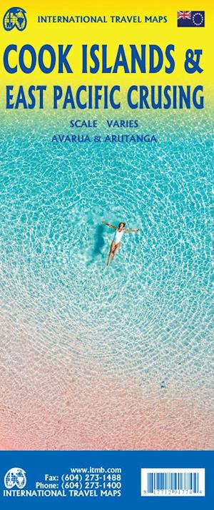
This is a combination map, focused on two travel realities. Side 1 is a detailed map of the main islands making up the Cook Island archipelago. The main map on Side 1 is a series of inset maps providing excellent detail of individual islands, such as Raratonga, Mangaia, or Aitutaki, or island groupings of more northerly groupings that are little more than atolls, such as Penrhyn or Palmerston. The capital is Avarua, and an inset map is included; also one of Arutanga on Aitutaki. Side 2 covers the eastern portion of the South Pacific, from the Marshall Islands, Nauru, and the Solomons on the west to Hawaii and Tahiti on the east, and as far south as New Zealand. Other island nations included on this map are Kiribati, Tuvalu, Fiji, Samoa, and New Caledonia.
| Médias | Livres Hardcover Book (Livre avec dos et couverture rigide) |
| Validé | 13 décembre 2022 |
| ISBN13 | 9781771291774 |
| Éditeurs | ITMB publishing |
| Genre | Maps & Guides |
| Dimensions | 500 g (Poids (estimé)) |
| Langue et grammaire | English |
Plus par ITM Publications


D'autres ont aussi acheté
![Cover for James Joyce · Ulysses (Bound Book) [1er édition] [Indbundet] (2014)](https://imusic.b-cdn.net/images/item/original/584/9788763814584.jpg?james-joyce-2014-ulysses-bound-book&class=scaled&v=1412192648)
![Cover for G.W.F. Hegel · AFTRYK: Dialetik (Sewn Spine Book) [1er édition] (2022)](https://imusic.b-cdn.net/images/item/original/800/9788793535800.jpg?g-w-f-hegel-2022-aftryk-dialetik-sewn-spine-book&class=scaled&v=1661237403)
![Cover for Den Grønne Ungdomsbevægelse · En Grøn Retfærdig Fremtid (Sewn Spine Book) [1er édition] (2022)](https://imusic.b-cdn.net/images/item/original/000/9788794406000.jpg?den-groenne-ungdomsbevaegelse-2022-en-groen-retfaerdig-fremtid-sewn-spine-book&class=scaled&v=1670182722)
Voir tous les ITM Publications ( par ex. Hardcover Book , Print , Book , Map et Sewn Spine Book )